New York Transit
2026-09-20
- map
- system
- transit
- vintage
“When New York’s independently managed subway lines came under centralized governmental control in 1953, it became clear that the perplexing experience of navigating the vast network needed to be addressed. This subway map was an attempt to simplify an earlier three-color version that was geographically accurate but visually confusing.”1
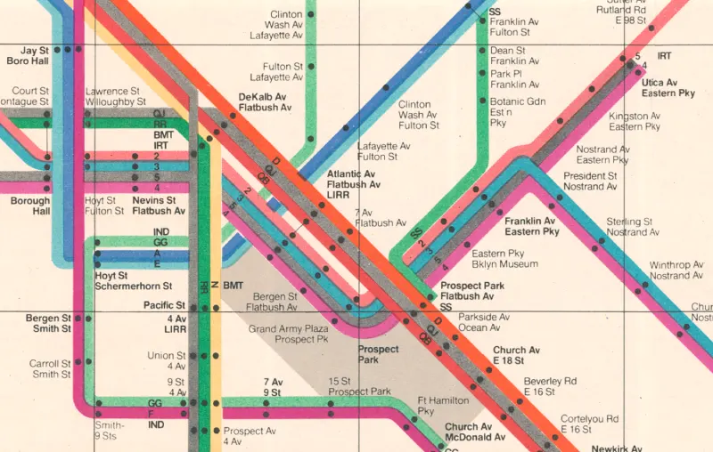
Detailed view of the 1972 map from the NYT Mesuem collection.2
Exampled use of combination of arrow and direaction information from the New York Transit Authority: Graphics Standards Manual.3
Footnotes
-
Meseum of Modern Art https://www.moma.org/collection/works/89300?artist_id=26883&page=1&sov_referrer=artist ↩
-
“Towards a Better Way: The ‘Vignelli’ Map at 50”, New York Transit Museum https://www.nytransitmuseum.org/vignelli/ ↩
-
Meseum of Modern Art https://www.moma.org/collection/works/89303?artist_id=26883&page=1&sov_referrer=artist ↩